
Guidelines for submitting articles to Mazarron Murcia
Hello, and thank you for choosing Mazarron Murcia to publicise your organisation’s info or event.
Mazarron Murcia is a website set up by Murcia Today specifically for residents of the urbanisation in Southwest Murcia, providing news and information on what’s happening in the local area, which is the largest English-speaking expat area in the Region of Murcia.
When submitting text to be included on Mazarron Murcia, please abide by the following guidelines so we can upload your article as swiftly as possible:
Send an email to editor@spaintodayonline.com or contact@murciatoday.com
Attach the information in a Word Document or Google Doc
Include all relevant points, including:
Who is the organisation running the event?
Where is it happening?
When?
How much does it cost?
Is it necessary to book beforehand, or can people just show up on the day?
…but try not to exceed 300 words
Also attach a photo to illustrate your article, no more than 100kb

Cycling in the Region of Murcia: four picturesque but testing climbs in less frequented areas of the Costa Cálida!
Some of the most demanding ascents in southern Spain are to be found in the mountains of Murcia
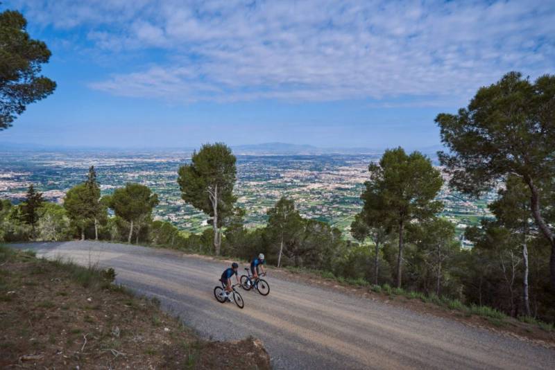 The Region of Murcia is something of a paradise for nature lovers who enjoy exploring on two wheels, with rides ranging from the flat crop fields of the Vega Media around the regional capital, the Campo de Cartagena and the area around the Mar Menor to some extremely testing hill and mountain climbs further inland.
Many of these are well-known and indeed often feature not only in the annual Tour of Murcia but also in the Vuelta a España, one of the three major European classics alongside the Tour de France and the Giro de Italia. But further off the beaten track the Murcia tourist board highlights four equally demanding climbs which may not be so familiar to cycling enthusiasts!
1. The Puerto de Carrascoy
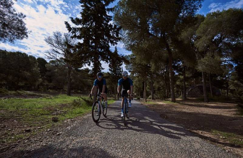 This pass is actually considered one of the hardest rides in Spain and is made even more difficult by the poor condition of the road surface. The climb is one of relentless suffering and once you’ve started there is no respite: up until the sixth kilometre the average gradient is 10 per cent, with one two-kilometre stretch averaging out at 13 per cent!
At least motor vehicles are a very rare distraction due to the state of the road, but this is one of the few factors in the cyclist’s favour as he or she strains to reach the top.
The peak of the climb is here, and one the ascent begins just south of Librilla it lasts 9.5 kilometres, rising 858 metres to an altitude of 1,058 metres above sea level.
2. Puerto Frío
Setting out from Cortao de las Peñas in the municipality of Fortuna is a 12-kilometre climb with an average gradient of just 4.4 per cent and a total ascent of 530 metres. The road is in Good condition and the upward slope is fairly easy until the 7th kilometre, but as riders approach Fuente Blanca things change drastically. For three kilometres the average gradient is then between 8 and 9 per cent, before thankfully the ground flattens out for the last couple of kilometres.
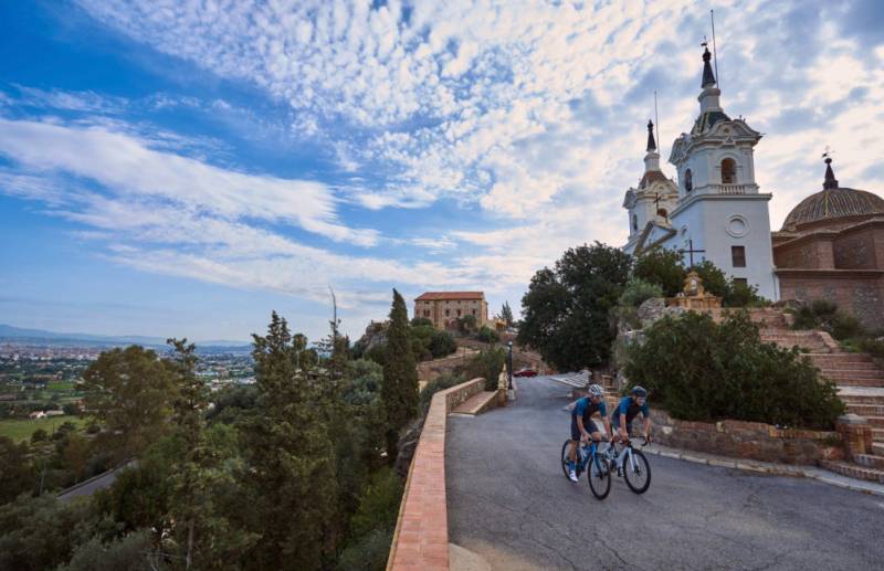 Again this ride is rarely disturbed by motorists, making it a relatively safe one, and every year a mass cycling event is held here under the name of “Sierra de la Pila”.
The peak of the climb can be found here, illustrating the extent to which this destination is an extremely rural one!
3. Benizar
The climb up to the village of Benizar in the municipality of Moratalla is another hard one, lasting 15 kilometres and rising a seemingly unimpressive 435 metres, but along the way are some sectors with gradients of as much as 21 per cent. Others reach 15 per cent, but the majestic landscape more than makes up for the thigh-burning, lung-bursting effort!
For map reference, the village of Benizar is here: head south-west from the village and up into the mountains!
4. Ricote
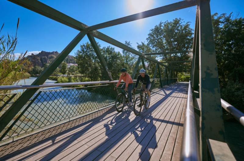 At only 5.23 kilometres and 300 metres of climb, with an average gradient of 5.73 per cent, this might seem at first like a fairly gentle ascent, but in fact it is ranked as the third most difficult in the Region of Murcia. It is a safe ride due to their being very little traffic along the route, and as riders approach the town of Ricote the road surface becomes more reliable, but the first two kilometres heading from Ojós towards Blanca have an average gradient of 7 per cent.
After the third kilometre the suffering continues as the road surface becomes unreliable again, but there is abundant vegetation along the route and trees provide shade as tired riders near their destination.
Most of the route follows the RM-521 from Ojós to Ricote, and it is certainly worthwhile taking the ride slowly: the Ricote valley is perhaps the greenest area of the Region of Murcia due to the course of the River Segura running through it, and it would be a shame not to enjoy the unusually verdant Murcia countryside!
Even mountaineers who have conquered Everest and other 8,000-metre peaks will vouch for the fact that Murcia is home to some of the most testing rock-climbing challenges in Europe, and much the same can be said for cyclists: the Region may not be home to the Sierra Nevada or the Pyrenees, but woe betide the rider who assumes that the Costa Cálida is home to only gentle, easy ascents!
(Further details of cycling climbs in Murcia can be found here)


